Here Comes AI4SDGs 2026 Space AI Solution Competition!
October 6th, @STAR.VISION
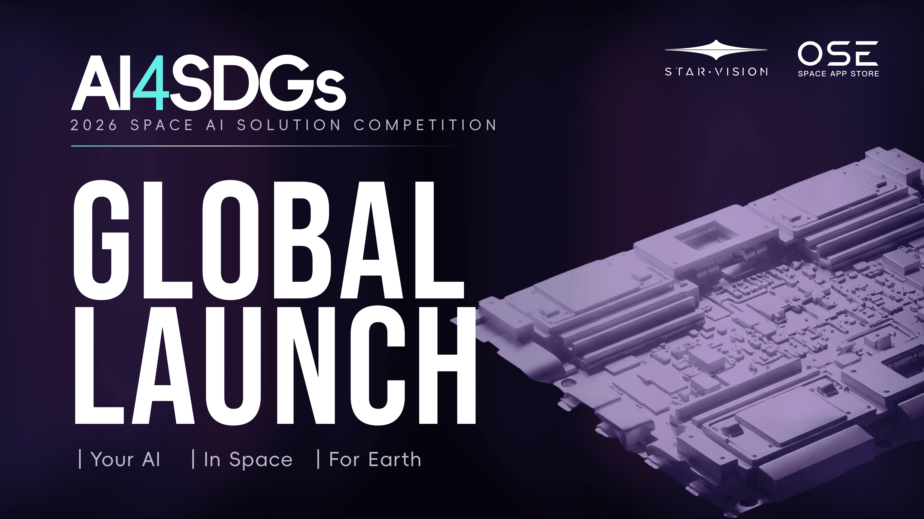
On October 6, 2026, STAR.VISION officially launched the AI4SDGs 2026 Space AI Solution Competition during the 77th International Astronautical Congress (IAC 2026) in Antalya, Türkiye.
At the launch ceremony, STAR.VISION announced the competition’s international partners: the Egyptian Space Agency (EgSA), the Brazilian Space Agency (AEB), the National Research and Innovation Agency of Indonesia (BRIN), the Kenya Space Agency (KSA), and Oman Lens. The United Nations Global Geospatial Knowledge and Innovation Centre (UN-GGKIC) serves as the competition’s guiding institution, providing guidance and support.
From Ideas to Real-World Applications
The competition consists of three stages: Concept Development, Algorithm Development, and Application Evaluation. Teams will progress from identifying a problem and proposing an innovative solution to developing an AI algorithm and demonstrating how it could be applied in a real-world setting.
By bringing together satellite data, artificial intelligence, and global talent, the competition aims to turn innovative ideas into practical solutions that serve people and the planet. Outstanding algorithms may also have the opportunity to be deployed and validated in orbit.
Who Can Participate?
The competition is open to students and researchers affiliated with universities or research institutions worldwide, with no age or academic-rank restrictions.
• Team size: 2–5 members per team
• One team per participant: Each participant may join only one team
• One track per team: Each team may select one competition track
• Global participation: International and cross-institutional teams are welcome
Rewards and Opportunities
• Satellite Imagery Credits: Access satellite data to support AI development and experimentation
• Rocket Launch Viewing Opportunities: Get closer to the excitement of space exploration
• Global and Regional Awards: Gain recognition for innovative solutions
• Summer Camps and Training Opportunities: Develop your skills and connect with the wider space AI community
Three Competition Tracks
Track 1. Sustainable Cities — Building Footprint Extraction
UN SDG 11: Sustainable Cities and Communities
Use multispectral satellite imagery to identify and extract individual building footprints. Develop AI solutions that support settlement assessment and urban planning.
Track 2 .Climate Resilience — Water Mapping for Flood Response
UN SDG 13: Climate Action
Use multispectral satellite imagery to identify and map water bodies. Develop solutions that support flood monitoring, disaster response, and climate resilience.
Track 3. Sustainable Agriculture — Hyperspectral Crop Monitoring
UN SDG 12: Responsible Consumption and Production
Use hyperspectral satellite imagery to map agricultural areas and assess relative crop health. Explore AI-driven approaches to agricultural monitoring and sustainable resource management.
Competition Timeline
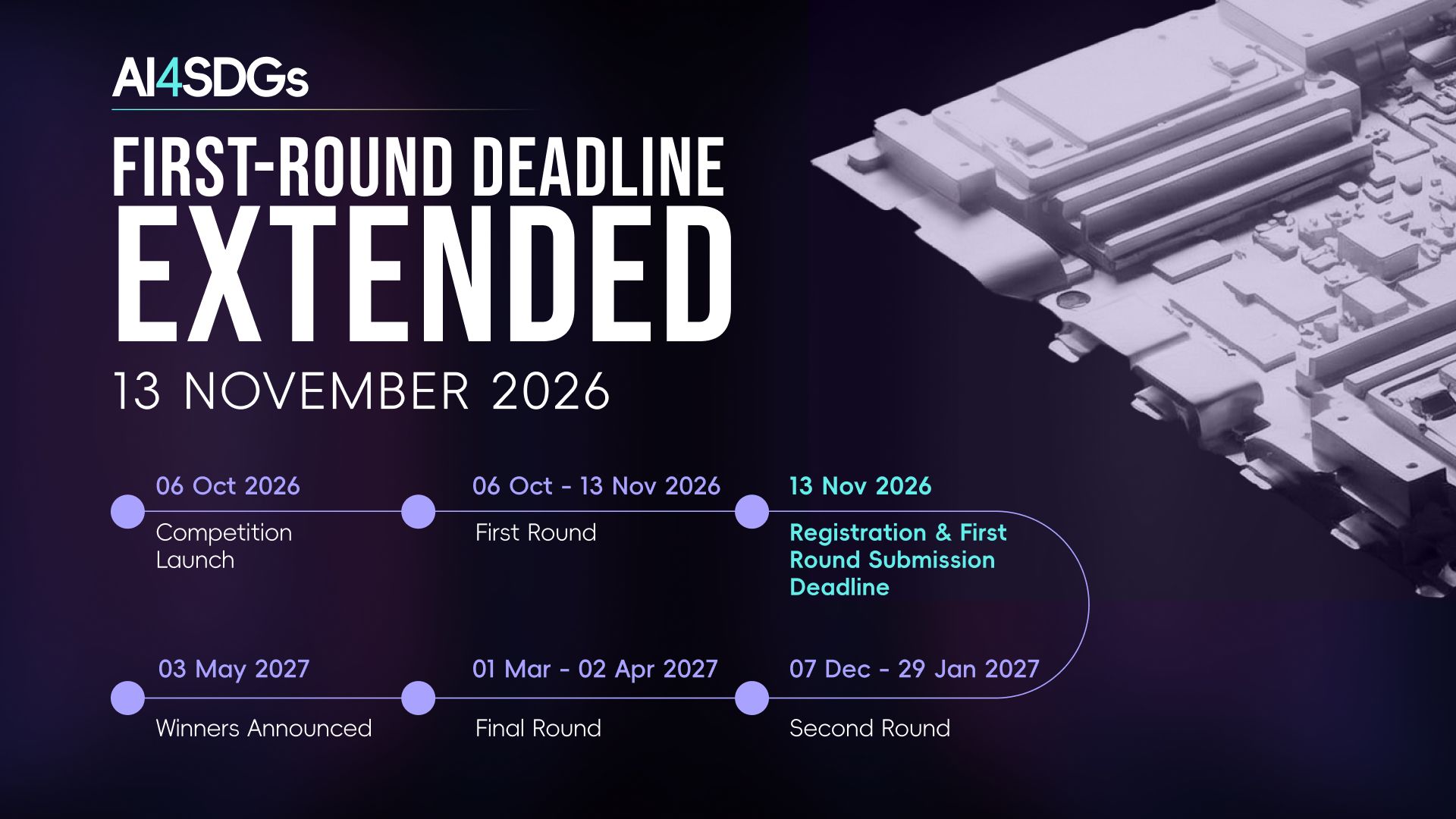
• October 6, 2026: Competition launch
• October 6 – November 13, 2026: Preliminary round
• November 13, 2026: Registration and preliminary submission deadline
• December 7, 2026 – January 29, 2027: Second round
• March 1 – April 2, 2027: Final round
• May 3, 2027: Winners announced
The preliminary round focuses on concept development. Each team must submit a project proposal presentation in PDF format outlining the problem to be addressed, the proposed satellite data and AI methods, and the solution’s practical value, along with a brief written abstract summarizing the core idea, completed directly on the competition submission page.
Turn Your Idea into Impact
Have an idea for using AI and satellite data to solve a real-world problem? Bring your creativity to the AI4SDGs 2026 Space AI Solution Competition. Your next breakthrough could help make AI a powerful tool for a more sustainable world—and potentially take your algorithm into orbit!
𝗔𝗽𝗽𝗹𝘆 𝗵𝗲𝗿𝗲: https://club.star.vision/questionnaire/ai4sdgs
【About STAR.VISION】
STAR.VISION is a world-leading space intelligence infrastructure company and service provider dedicated to reshaping space infrastructure and global industry applications through AI. Through the vertical integration of intelligent spacecraft, on-orbit computing, spatiotemporal data, AI models, and space computing power, it drives the upgrade of traditional satellite systems into a space intelligence network with real-time computing, intelligent understanding, and collaborative service capabilities, serving governments, enterprises, and the emerging space economy worldwide.

Stay Informed
Subscribe STAR.VISION’s Newsletter

If you would like to receive email updates from STAR.VISION Newsroom, please complete the information above.