What is a Hyperspectral Satellite? Seeing the World in a Million Colors
Imagine looking at a forest. Your eyes see a sea of green. A standard satellite might see a few different shades, distinguishing between pines and oaks. But a hyperspectral satellite sees a million different greens. It can tell you which trees are healthy, which are stressed by drought, which are subtly changing color due to insect infestation, and even what minerals are in the soil they grow in.
This is the power of hyperspectral imaging—a revolutionary technology in Earth observation that sees what the human eye, and even other satellites, cannot.
▎How Does It Work? The ‘Barcode’ of Light
So, how does a satellite achieve this? The principle is surprisingly intuitive.
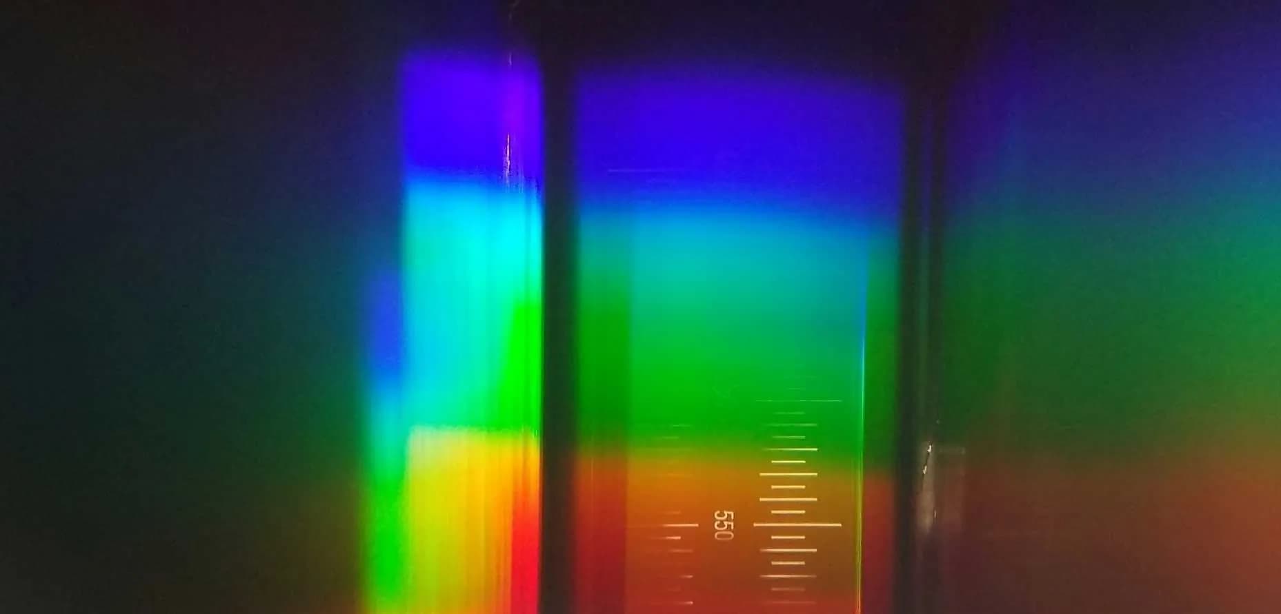
Think about how sunlight contains all the colors of the rainbow. When this light hits an object on Earth—a plant leaf, a patch of soil, or water—that object absorbs some colors and reflects others. The specific pattern of reflected light is what we call a "spectral signature" or "spectral fingerprint."
You can think of this signature as a unique product barcode. Just as a scanner at a supermarket reads a barcode to instantly identify a product, a hyperspectral satellite reads the "light barcode" reflected from the ground. Because every material has a different chemical and physical composition, every material has a unique light barcode.
Our eyes see these reflections blended together as a single color. A standard multispectral satellite sees a few chunks of this barcode. A hyperspectral satellite, however, sees the entire, high-resolution barcode in hundreds of narrow bands. This allows it to distinguish between materials that look identical to the naked eye, unlocking a new level of understanding.
▎Beyond Normal Vision: Hyperspectral vs. Multispectral
Most Earth observation satellites, including the well-known Sentinel-2 and Landsat series, are multispectral. They capture light in a handful of wide spectral bands, roughly corresponding to blue, green, red, near-infrared, and so on. It’s like having a camera with 5 to 10 specific color filters.
Hyperspectral imaging is a significant leap forward. A hyperspectral sensor captures data across hundreds of very narrow, contiguous bands. Instead of a few data points, it creates a continuous spectrum—a full "light barcode"—for every single pixel in an image.
▎What Can We See? The Applications of Hyperspectral Imaging
By analyzing these unique spectral fingerprints, we can unlock a wealth of information across numerous fields.
Precision Agriculture: Farmers can move beyond monitoring fields to managing individual plants. Hyperspectral data can identify crop stress from lack of water or nutrients long before it's visible, map crop types with incredible accuracy, and optimize irrigation and fertilization, leading to higher yields and more sustainable practices.
Environmental Monitoring: This technology is a game-changer for protecting our planet. It allows for the detection of harmful algal blooms in lakes and oceans , the monitoring of water quality by identifying pollutants and suspended sediment, and the assessment of forest health and biodiversity. For instance, STAR.VISION is a key partner in developing Indonesia's first hyperspectral satellite, "Lampung-1", which will provide these critical insights for agriculture and marine environments in the region.
Geology and Mineral Exploration: Different minerals and soil types have distinct spectral signatures, especially in the short-wave infrared (SWIR) part of the spectrum. Hyperspectral satellites can map surface geology and identify deposits of valuable minerals, making exploration more efficient and less environmentally invasive. The ability to distinguish between different types of rock and soil helps in everything from resource management to landslide risk assessment.
Urban Planning & Infrastructure: By identifying the materials used in buildings and infrastructure, such as different types of roofing or pavement, city planners can better manage urban heat islands, monitor infrastructure health, and plan for sustainable development.
▎The Next Generation: STAR.VISION's OSE HS Constellation
While legacy satellites have paved the way, a new generation of spacecraft is pushing the boundaries of what's possible. At STAR.VISION, we are proud to introduce our OSE HS01 and OSE HS02 satellites—a constellation set to redefine the standards of hyperspectral imaging.
Our twin satellites are designed to outperform other hyperspectral missions, offering a superior combination of detail, coverage, and flexibility.
Unprecedented Detail and Scope: The OSE HS constellation captures images with a ground resolution of up to 5 meters. This is combined with an exceptionally wide 300km swath width, allowing us to cover vast territories like entire coastlines or agricultural zones in a single pass.
Advanced Spectral Capabilities: With 17 bands in the visible and near-infrared and 5 in the short-wave infrared, our satellites provide rich, detailed spectral data for a wide range of applications. This includes specialized bands for detecting vegetation health , water vapor, and even identifying man-made materials. The constellation also supports nightlight imaging, opening up new possibilities for monitoring economic activity and energy consumption.
Rapid Revisit for Timely Insights: Operating in a 786km sun-synchronous orbit, the two satellites achieves a global revisit time of 5 days or less. This frequency is critical for monitoring dynamic situations like natural disaster recovery, agricultural cycles, and environmental changes.
▎A Clearer Future for Our Planet
Hyperspectral imaging is transforming our ability to understand and responsibly manage our planet. It provides actionable, data-driven insights for some of the world's most pressing challenges. With the launch of the OSE HS-01 and OSE HS-02 satellites, STAR.VISION is at the forefront of this transformation, committed to delivering the highest quality Earth observation data to build a more sustainable and visible future.